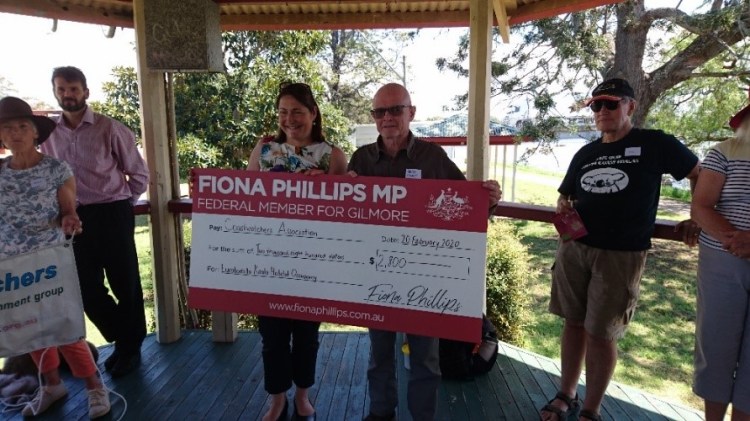
For the year 2020 the Commonwealth Government granted $2,800 through the Gilmore Electorate to The Coastwatchers Association Inc (matched in-kind by Coastwatchers) under the Communities Environment Program.
The purpose of the grant was identification of koala habitat with a view to future koala population revival or reintroduction. The grant enabled ten close-scale plot surveys to ground-truth wider-scale modelling of potential koala habitat in the forested patch between Wamban and Nerrigundah.
Under the auspices of Coastwatchers, the project was carried out by the volunteer Eurobodalla Koala Project in its role as a local citizen science movement.
In summary, the project concluded the potential of the patch to offer suitable habitat for low-density koala revival was confirmed, but with significant caveats in respect of historical clearing, topography, soil fertility and possible future disturbance. The key lessons for the future environmental management of this patch are the maintenance of its landscape-scale connectivity to other habitat patches, and avoidance of further disturbance through increased frequency and intensity of wildfire, urban development or over-intensive agri-industry

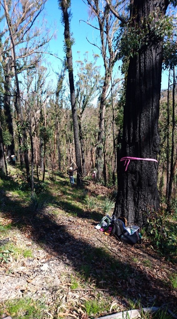
Although the grant was made beforehand, the severe fires of the 2019-2020 summer made this work all the more important, firstly as a contribution to the economic and social recovery of the Eurobodalla, and secondly for the scientific purpose of ascertaining the fires’ impact on the suitability of the project’s use of the Regularised Grid Based Spot Assessment Technique (RGBSAT) for individual plot analysis. Estimating the survival and recovery of the habitat patch also became relevant. These catastrophic fires burned at high-to-very high intensity across most of the study patch, with the remaining quarter experiencing low-to-medium intensity fire.
Further disruptions to community and agency consultations, group gatherings and travel for fieldwork occurred because of the COVID-19 viral pandemic.
Fieldwork and the reporting deadline were postponed by six months to allow community and agency contacts time to recover as well as access and safety reasons. Amended planning for the fieldwork included additions to expected data collection such as the impact of the fire on eucalypt recovery or density, whether thinning/thickening of shade or understory were permanent and the need to look more closely at soil composition after hot fire.
This section of our website contains the project’s final report plus a collection of the report’s references.
Readers will be able to link to each reference as they come to it in the report.
The forested patch between Wamban and Nerrigundah (partly Deua National Park, partly Moruya State Forest, mostly Dampier State Forest, with some small private holdings and crown land) was deemed significant because the last known evidence of koala presence in the Eurobodalla prior to 2020 was at Wamban Creek in the 2012-13 summer breeding season (roar recorded and scats found) and at Nerrigundah village in November 2013 (sighting). Nerrigundah had readily visible koalas in the mid-20th Century. Wamban has a previous recorded history of resident koalas affected by the fires of 1952 and 1968.
Preliminary observations suggested the patch is dominated by White Stringybark (Eucalyptus globoidea) and the southern-most occurrence in NSW of Smooth-barked Apple (Angophora costata). Previous NSW OEH surveys in the Bega Valley Shire found White Stringybark was one of the preferred browse species for south-east low-density koalas and suggested White Stringybark might be more preferred during dry periods. The NSW Government Review of Koala Tree Use Across NSW 2018 rates Smooth-barked Apple as “significant use” at Port Stephens for example.
The Wamban-Nerrigundah patch might therefore offer a viable breeding corridor with potential home range habitat at each end.
In 2012-13 the Eurobodalla Koala Project had modelled and mapped potential habitat over the whole Eurobodalla LGA, collected local knowledge and had undertaken twelve plot surveys in the vicinity of this new project. The map displayed a mix of “high”, some “medium” and mainly “low” quality “potential habitat” with the most promising at the Wamban end of the patch plus a smaller concentration at Nerrigundah.
Other wider-scale modelling, for the Comprehensive Regional Assessments (2000) and the Australian Koala Foundation, had suggested either “intermediate” quality habitat across the whole patch, or a mix.
Most of the 2012-13 plot survey results tended to confirm either the Eurobodalla Koala Project Pilot Study proposition (based on eucalypt species as the only factor) that viable remnant habitat is present or other research showing koala-preferred tree species such as Grey Ironbark (Eucalyptus paniculata), some Woollybutt (Eucalyptus longifolia) and Coast Grey Box (Eucalyptus bosistoana) are present.
Three of those plots had been randomly located and the remainder focused on the area around the confirmed 2012-13 koala record at Wamban Creek. The Eurobodalla Koala Project’s 2013 modelled map was part of a pilot study only, and did not have the benefit of the subsequent testing of additional habitat factors during the EKP’s Bendethera expedition or the benefit of documented evidence used for koala browse species listings in the 2018 NSW Government Review.
So, the Wamban-Nerrigundah Project 2020 (formal title Eurobodalla Koala Habitat and Occupancy Project 2019-2020 Gilmore Electorate) was now needed for an adequate test of habitat quality in the precise map polygon identified.
Final Report Wamban-Nerrigundah
Allen, Saxon and MacDougall 2010

Survey Datasheets Wamban, Moruya West and Nerrigundah 2013.
Set 2 EMDSF Photos Google Drive LINK
EMDSF Datasheets and Additional Information
GDNP Datasheets and Additional Information
Tozer et al, Native vegetation of southeast NSW – the SCIVI classifications – summary and appendices
Adams Hosking et al – modelling climate change impacts
Hammond – Explaining the Gap in the Sightings of the Koala on the Mid South Coast of NSW
Sustainable Farms Webinar Reference List
Fire Literature Summary and References
